BMC to Seek GSI Survey of 249 Landslide-Prone Locations in Mumbai
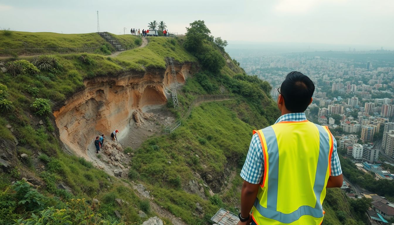
The Brihanmumbai Municipal Corporation plans to approach the Geological Survey of India to conduct a comprehensive survey of nearly 249 identified landslide-prone locations across Mumbai, including historically vulnerable zones in Chembur and Vikhroli. The last full assessment of these hazardous spots was carried out in 2017.
Civic officials confirmed that a draft proposal has been prepared and will be sent to the GSI shortly. The primary objective of the fresh study is to reassess the geological stability and soil morphology of the 249 sites, determining whether soil and rock formations have loosened further over the past several years.
According to civic officials, the assessment will also examine areas from which residents have previously been relocated to evaluate their present vulnerability levels. Based on the findings, the GSI will be asked to categorise each location according to risk, identifying whether spots remain highly vulnerable, have reduced in risk, or no longer require urgent intervention.
Ahead of this broader initiative, 32 of the city's most vulnerable locations were recently surveyed, and a report on their geological status was prepared.
Mumbai has recorded 95 landslides over the past six years, leading to 38 fatalities and 28 injuries, according to civic data. The highest single-year death toll during this period occurred in 2021, when 29 people lost their lives, accounting for more than 90 percent of the total fatalities.
All 29 deaths in 2021 took place on a single night during heavy rainfall on July 18. Ten people died when illegal slums in Surya Nagar atop LBS Road in Vikhroli collapsed, while 19 others were killed when a retaining wall collapsed onto homes in Mahul, Chembur.