Dharavi Koliwada boundaries to remain unchanged as no new evidence found
On 2 July 2026, authorities indicated that the boundaries of the Dharavi Redevelopment Project (DRP) are likely to remain unchanged, as no new documentary evidence has been found to justify excluding the Dharavi Koliwada area in Mumbai. The decision means the contested 2,00,830 square metres of land will remain within the government's approved redevelopment framework.
Representations seeking the exclusion of additional Koliwada areas from the project were examined by the concerned authorities. However, officials stated that the reviewed documents and submissions did not establish sufficient grounds to alter the boundaries notified by the government.
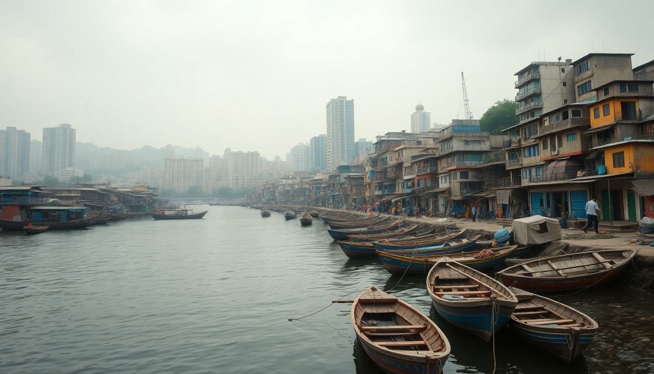
The boundary dispute recently went before the judiciary. The Dharavi Koli Jamat Trust filed a writ petition before the Bombay High Court seeking to exclude about 2,00,830 square metres of land from the notified project area. The trust claimed these lands were traditionally used by the Koli community for fishing and allied activities, and argued that the outer boundaries of Dharavi Koliwada were yet to be finalised by the Fisheries and City Survey authorities under the Maharashtra Land Revenue Code, 1966.
On 18 April 2026, a Division Bench of the Bombay High Court, comprising Justice M. S. Karnik and Justice S. M. Modak, dismissed the petition. The court noted that the Gaothan area of Dharavi Koliwada, measuring 23,665.64 square metres, is already excluded from the project under sanctioned planning proposals.
The bench also observed that the 3 March 2016 notification approving the Dharavi Notified Area planning proposals under the MRTP Act had attained finality and remained unchallenged. The court held that attempting to stall the redevelopment nearly 10 years after the 2016 notification could not be sustained, especially since the character of the land had changed due to encroachments and slums.
Furthermore, the court noted that rights had already been created for multiple stakeholders. This includes housing societies of GRP, BEST, ONGC, AEML, and MHADA, which had voluntarily handed over possession of their buildings to the project special purpose vehicle.
Officials stated that any boundary modification would require legally sustainable records rather than public or political assertions. Reopening boundary-related issues could affect planning, statutory approvals, and implementation timelines of the urban redevelopment project.