Five Worst Waterlogging Wards Linked to Mithi River Catchment, BMC Data Shows
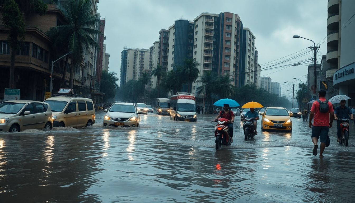
An analysis of civic documents released on July 27, 2026, revealed that five of Mumbai's seven worst waterlogging-prone wards over the past decade are linked to or overlap the Mithi River catchment area. The affected regions encompass critical commercial and residential zones across the suburbs, including the Bandra-Kurla Complex (BKC), Kalina, Kurla, Santacruz, Sakinaka, Powai, Vikhroli, Dharavi, and Mahim.
The analysis examined data from the Brihanmumbai Municipal Corporation (BMC) Flood Preparedness Guidelines 2026, covering waterlogging records from 2016 through 2025. The civic records show that recurring monsoon flooding problems in these five wards trace directly to the drainage network formed by the Mithi River and its surrounding nullahs.
The Mithi River stretches 18 kilometers from its point of origin at Vihar Lake inside Sanjay Gandhi National Park. It flows in a southwesterly direction through several densely populated parts of Mumbai before discharging into Mahim Bay. Over the ten-year period evaluated in the report, areas along this river passage experienced frequent waterlogging during heavy monsoon spells.
The persistent flooding across these five high-risk wards comes as the civic administration moves forward with large-scale interventions. The BMC is currently preparing a ₹13,000-crore flood mitigation plan to address the city's monsoon vulnerability.
As part of this massive financial allocation, the BMC plans to execute the next phase of the Mithi River improvement project. This upcoming phase aims to overhaul the drainage infrastructure and tackle the recurring waterlogging that has impacted areas from Powai and Sakinaka down through the Bandra-Kurla Complex, Dharavi, and Mahim.